
網上半月譚
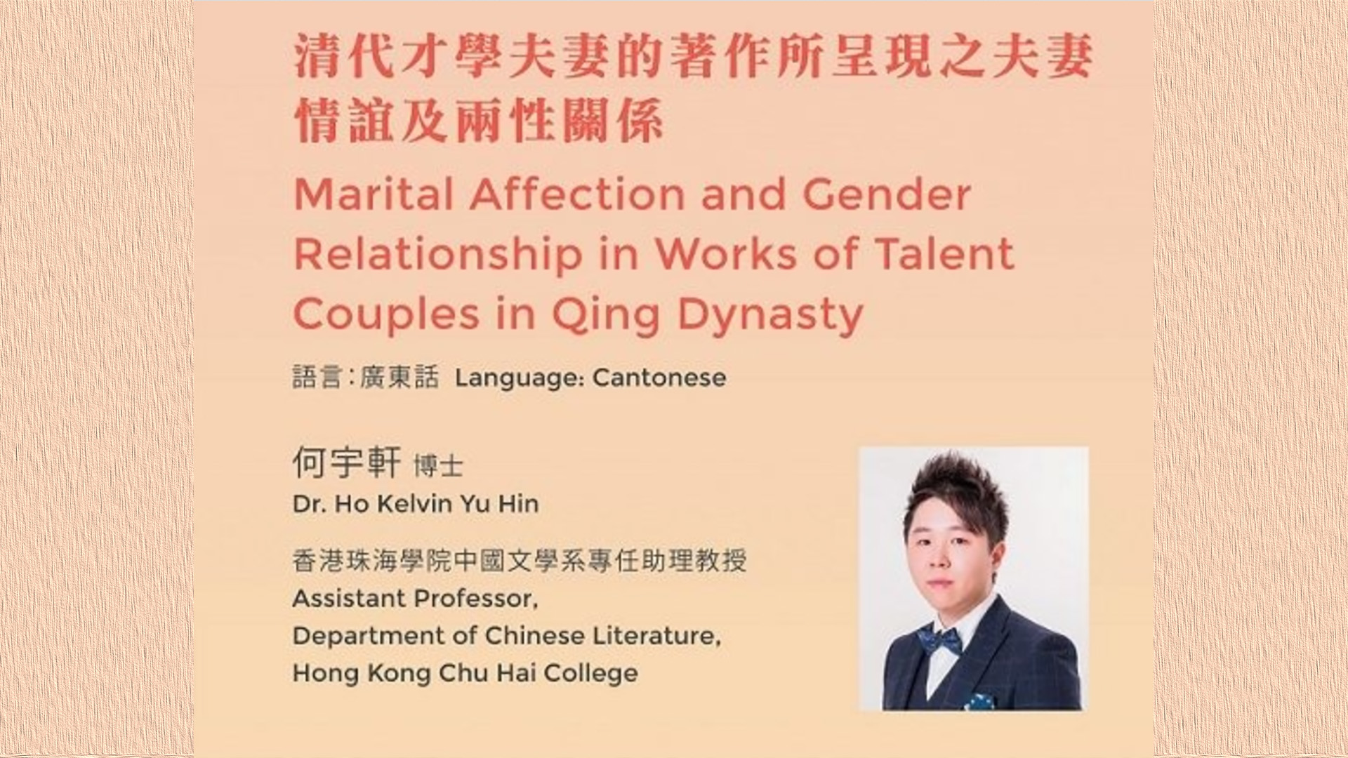
清代才學夫妻的著作所呈現之夫妻情誼及兩性關係
2023 | 93 mins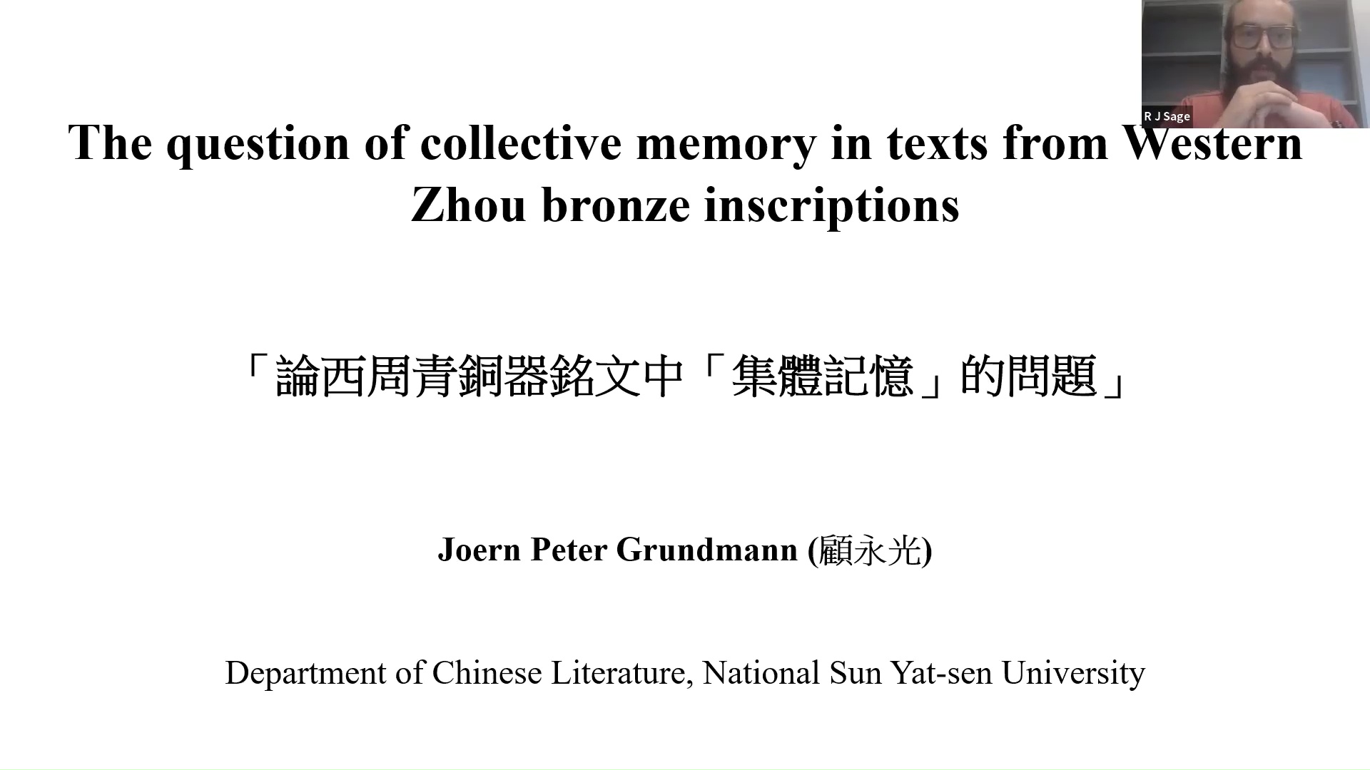
The Question of Collective Memory in Texts from Western Zhou Bronze Inscriptions
2023 | 81 mins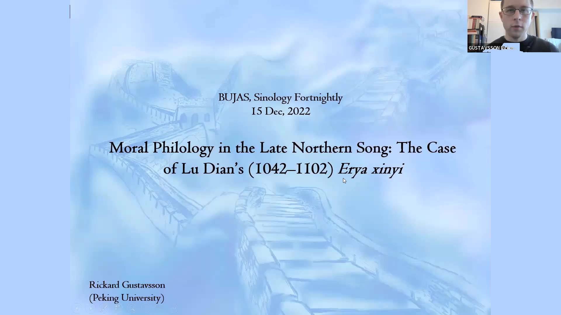
Moral Philology in the Late Northern Song: The Case of Lu Dian's (1042–1102) Erya xinyi
2022 | 87 mins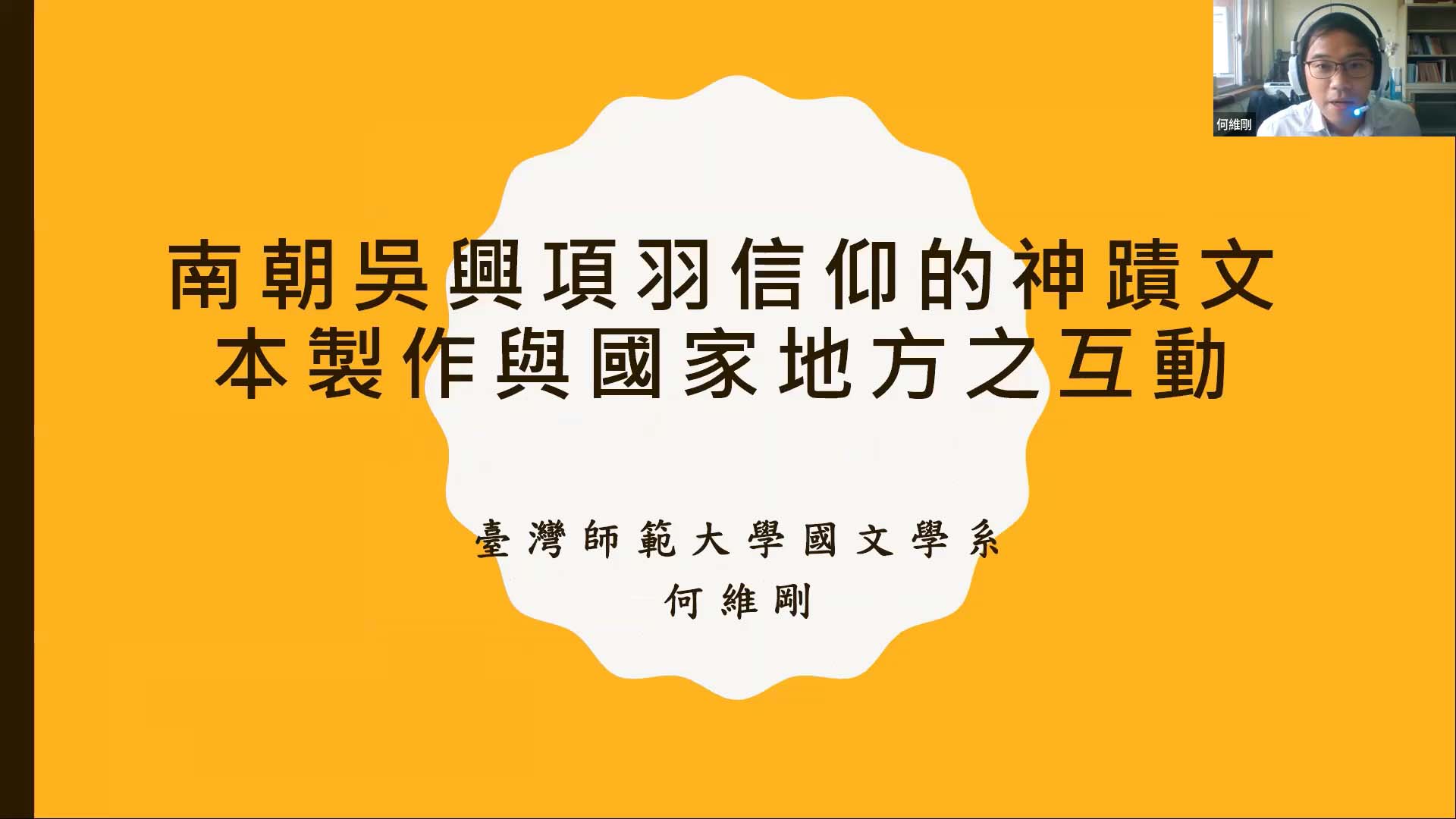
南朝吴兴项羽信仰的神迹文本制作与国家地方之互动
2022 | 81 mins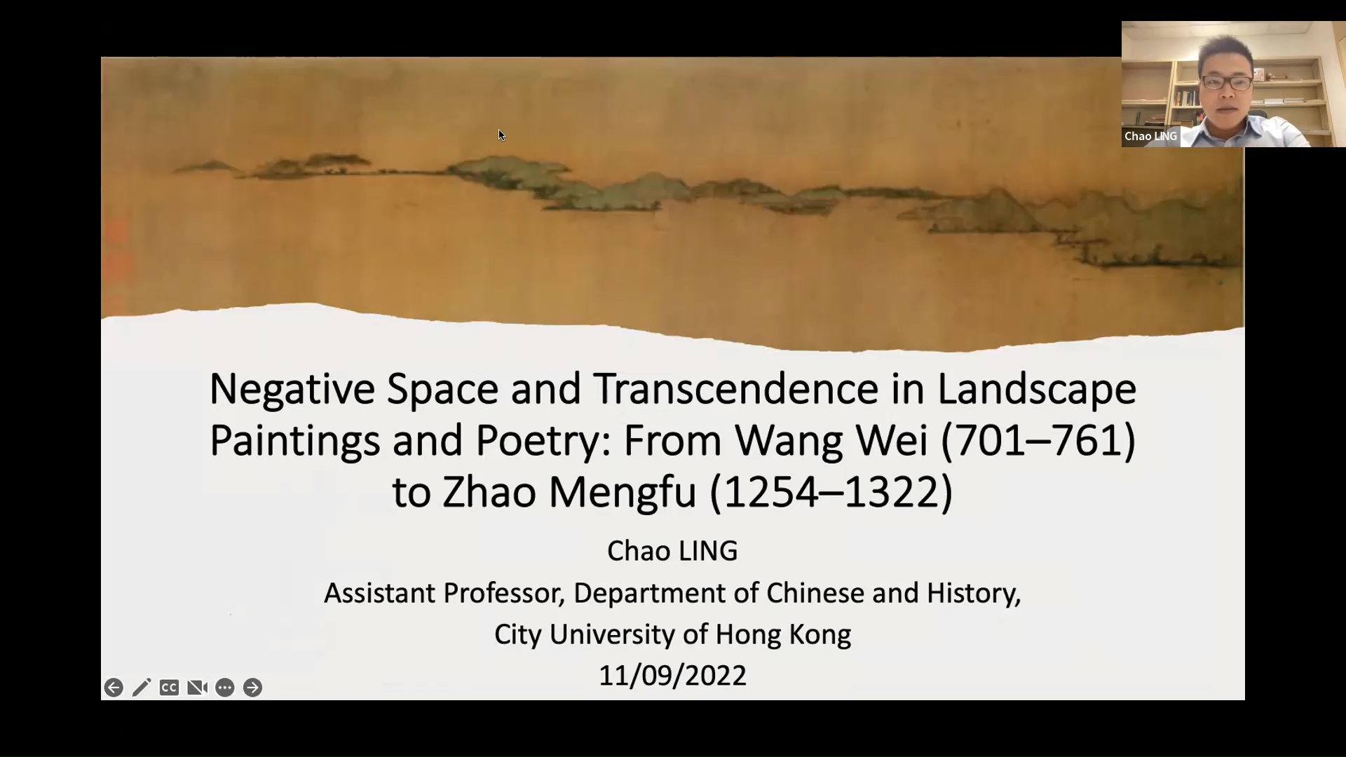
Negative Space and Transcendence in Landscape Paintings and Poetry: From Wang Wei (701–761) to Zhao Mengfu (1254–1322)
2022 | 86 mins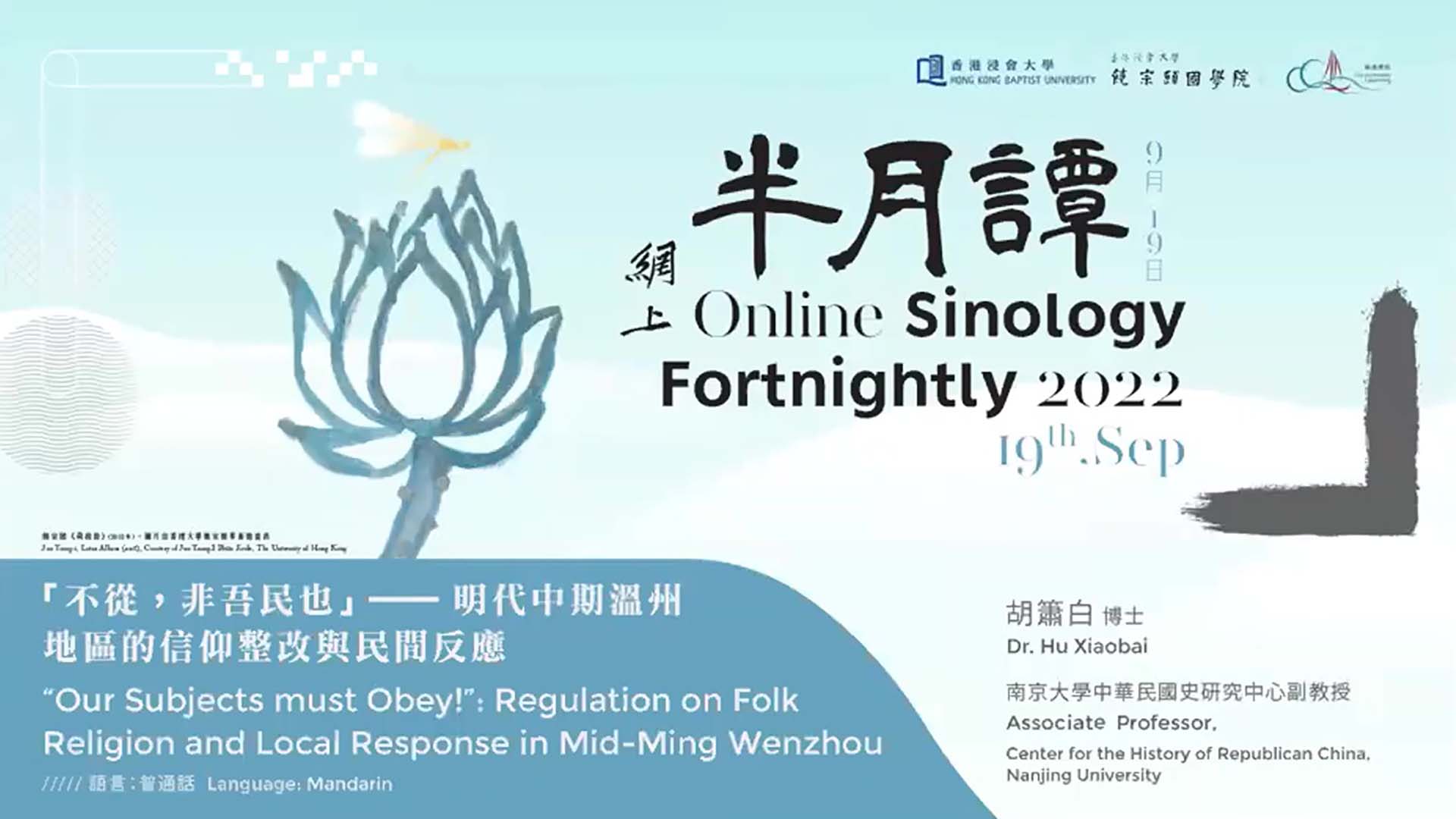
「不从,非吾民也」——明代中期温州地区的信仰整改与民间反应
2022 | 74 mins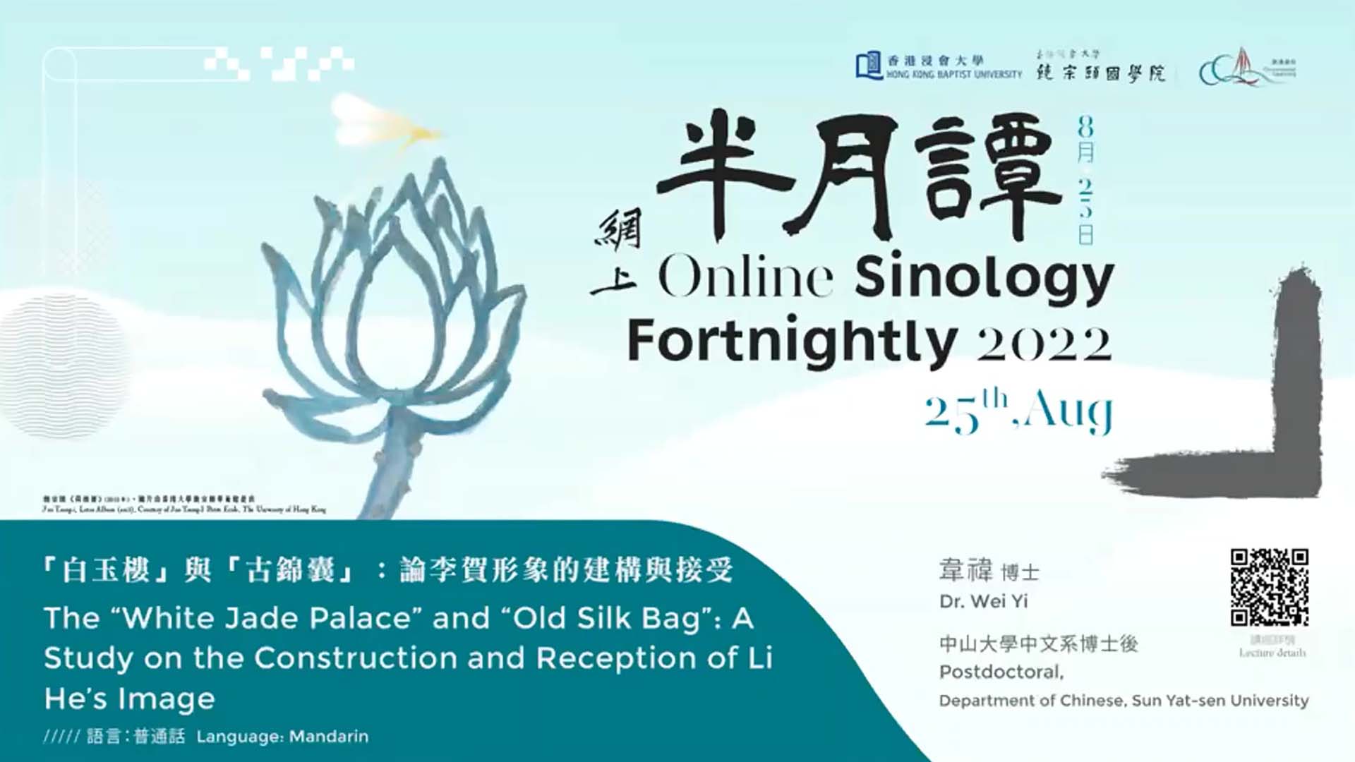
「白玉楼」与「古锦囊」:论李贺形象的建构与接受
2022 | 57 mins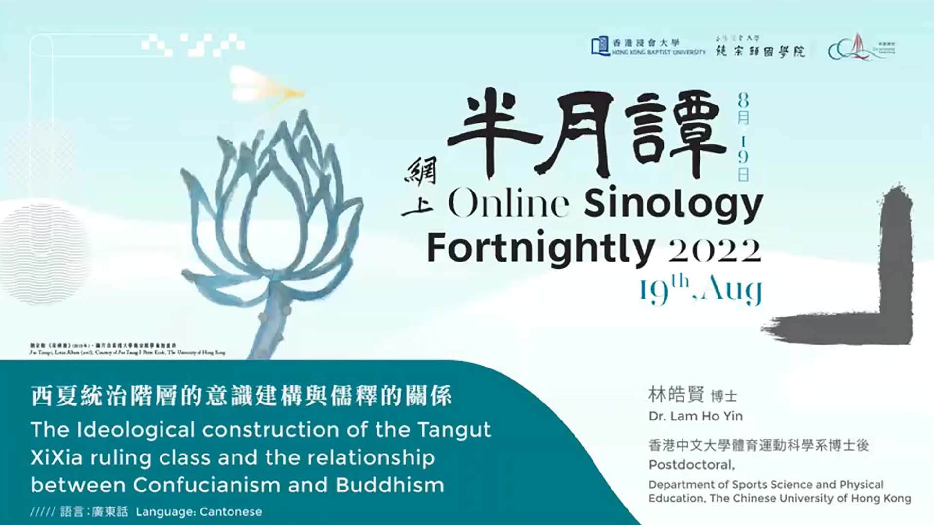
西夏統治階層的意識建構與儒釋的關係
2022 | 74 mins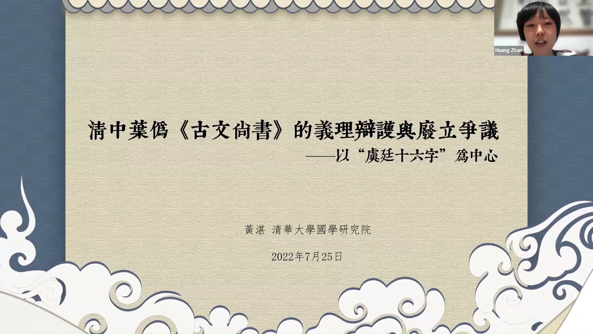
清中叶伪《古文尚书》的义理辩护与废立争议——以「虞廷十六字」为中心
2022 | 80 mins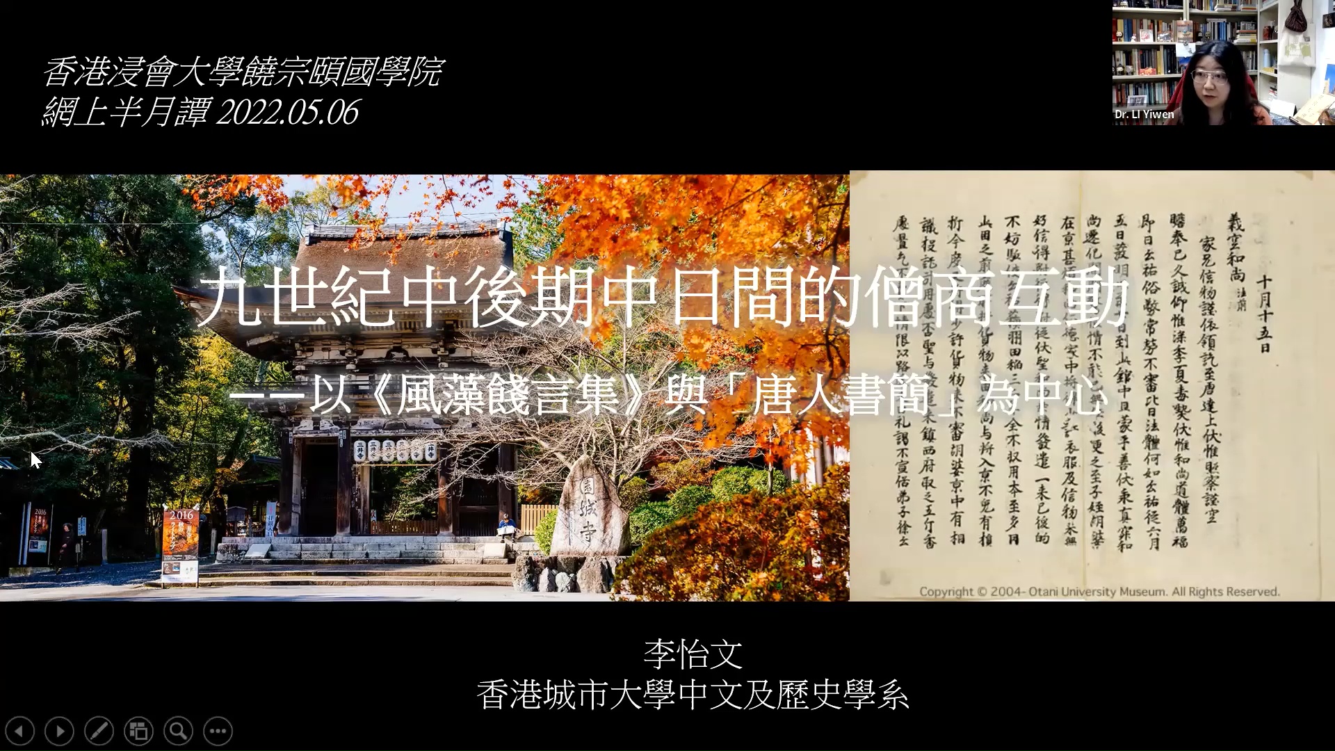
九世纪中后期中日间的僧商互动——以《风藻饯言集》与「唐人书简」为中心
2022 | 91 mins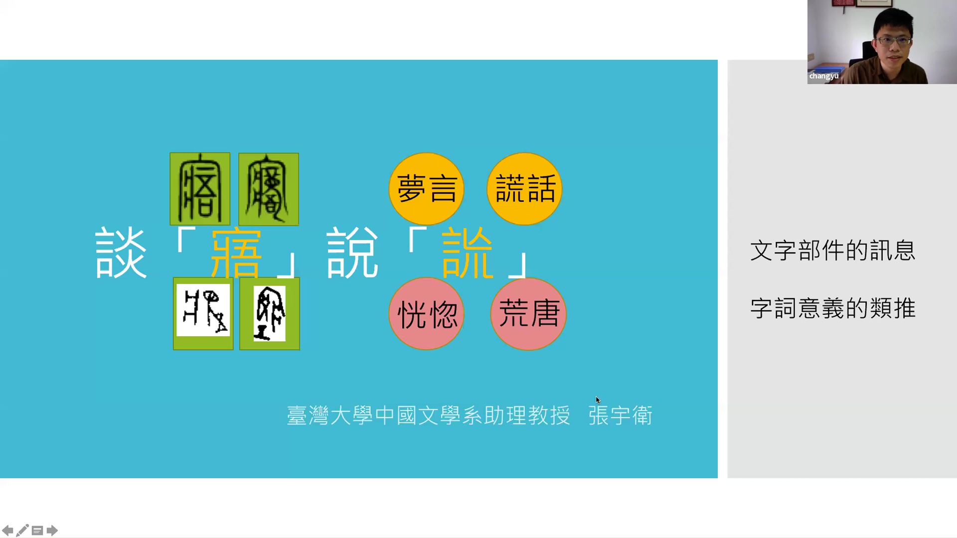
谈「寤」说「詤」
2022 | 76 mins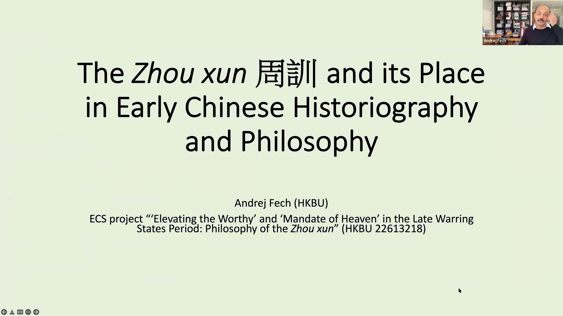
The Zhou xun and its Place in Early Chinese Historiography and Philosophy
2022 | 93 mins
从经典诠释到阅读实践——朱熹的「淫诗」说
2021 | 98 mins
作为策略的疾病:明清白话小说中的诈病和误传病亡现象
2021 | 104 mins
从张家坡井氏墓地谈畿内采邑对推行周文化的意义
2021 | 91 mins
The Three Layers of Weltanschauung, the dao in the Laozi
2020 | 87 mins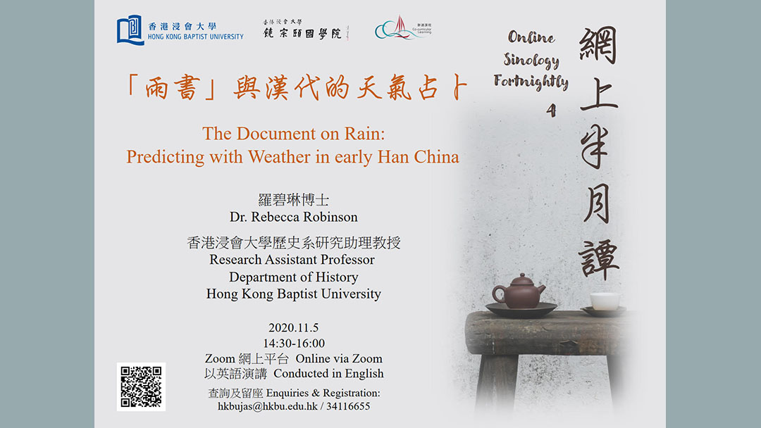
The Document on Rain: Predicting with Weather in early Han China
2020 | 89 mins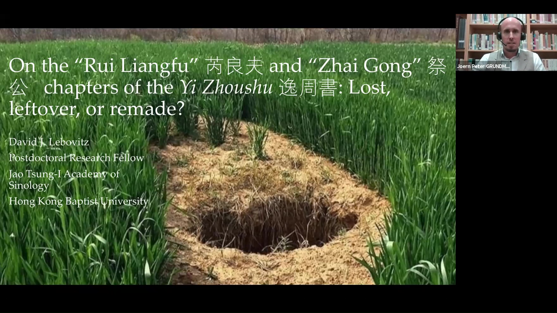
On the "Rui Liangfu" and "Zhai Gong" chapters of the Yi Zhoushu: Lost, leftover, or remade?
2020 | 89 mins
Discussing the Use of Springs and Autumns Covenant Formulae in the "Pan Geng" Chapter from the Book of Documents
2020 | 92 mins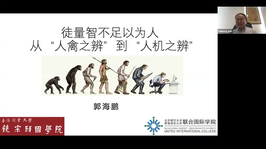
徒量智不足以为人——从人禽之辨到人机之辨
2020 | 90 mins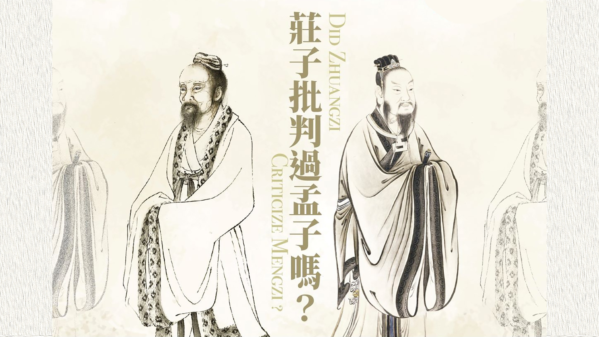
Did Zhuangzi Criticize Mengzi?
2024 | 79 mins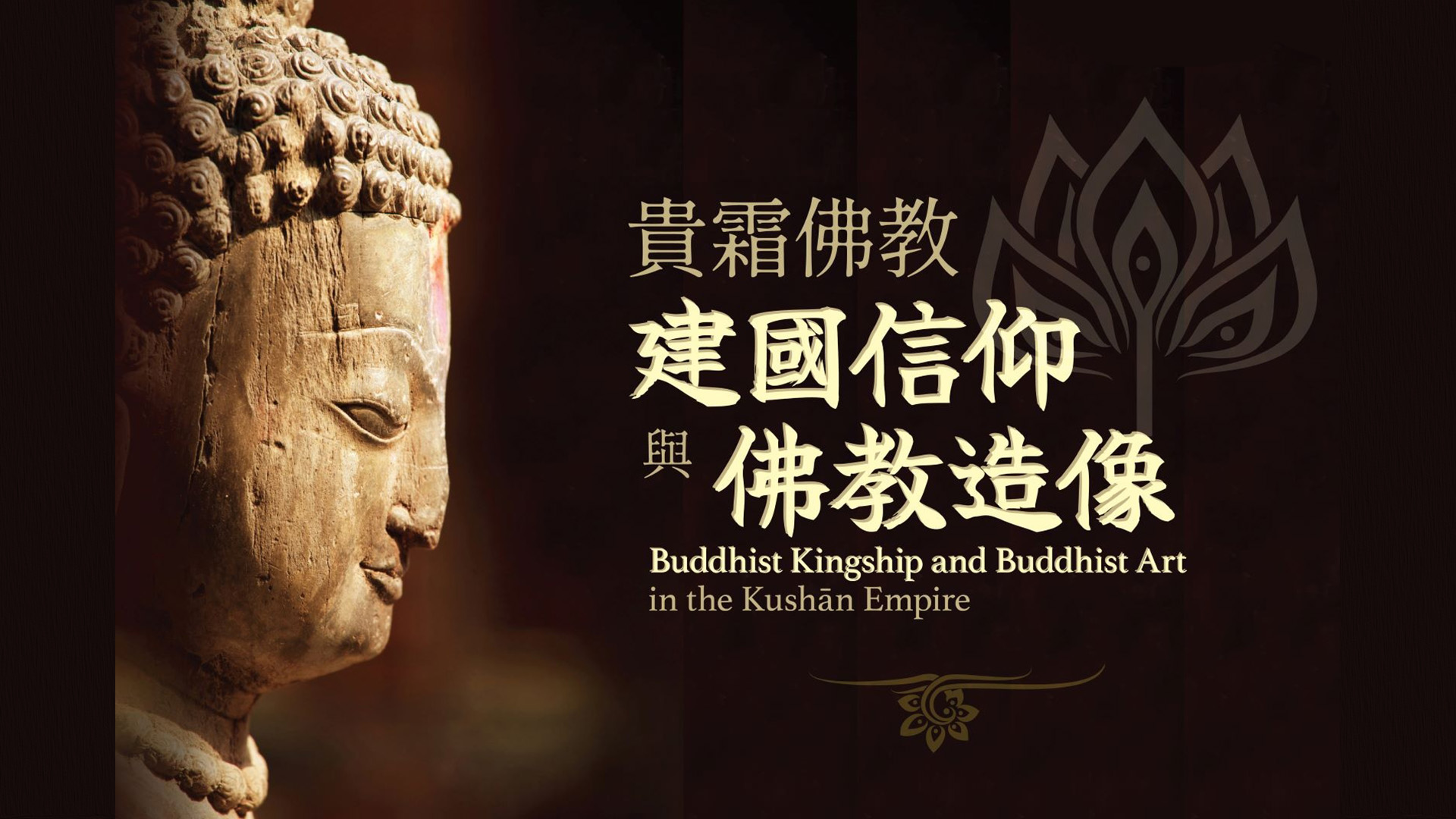
贵霜佛教建国信仰与佛教造像
2024 | 106 mins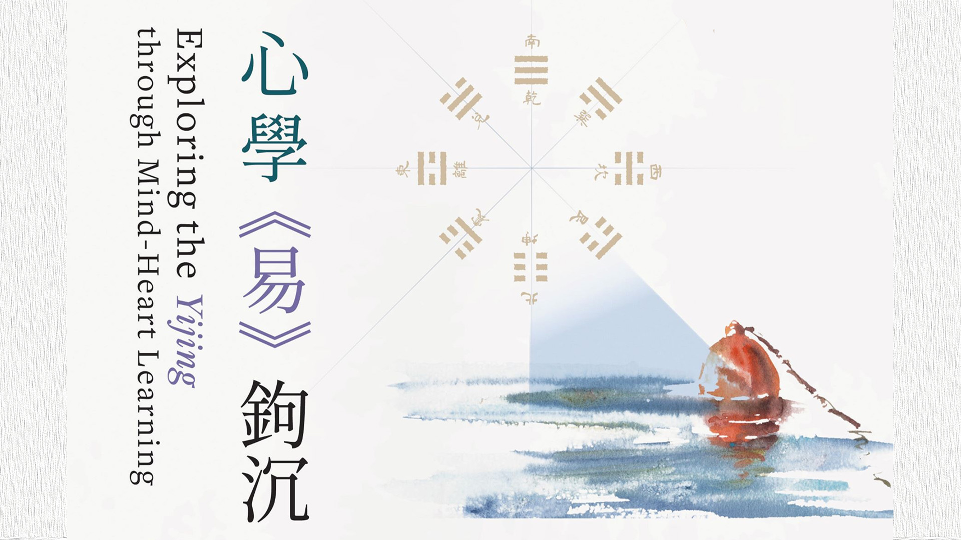
心学《易》钩沉
2024 | 86 mins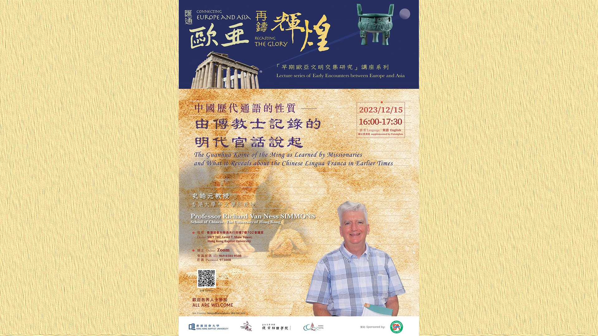
The Guanhua Koine of the Ming as Learned by Missionaries and What it Reveals about the Chinese Lingua Franca in Earlier Times
2023 | 92 mins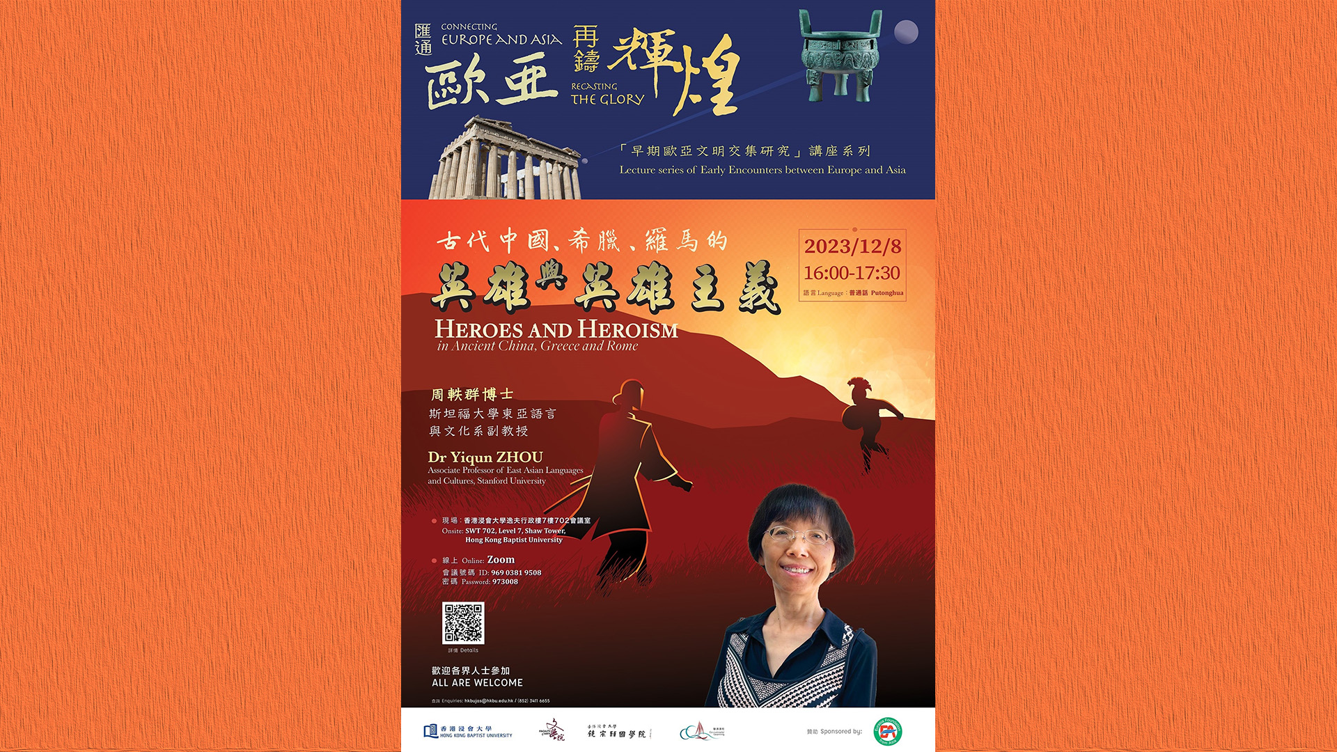
古代中国、希腊、罗马的英雄与英雄主义
2023 | 90 mins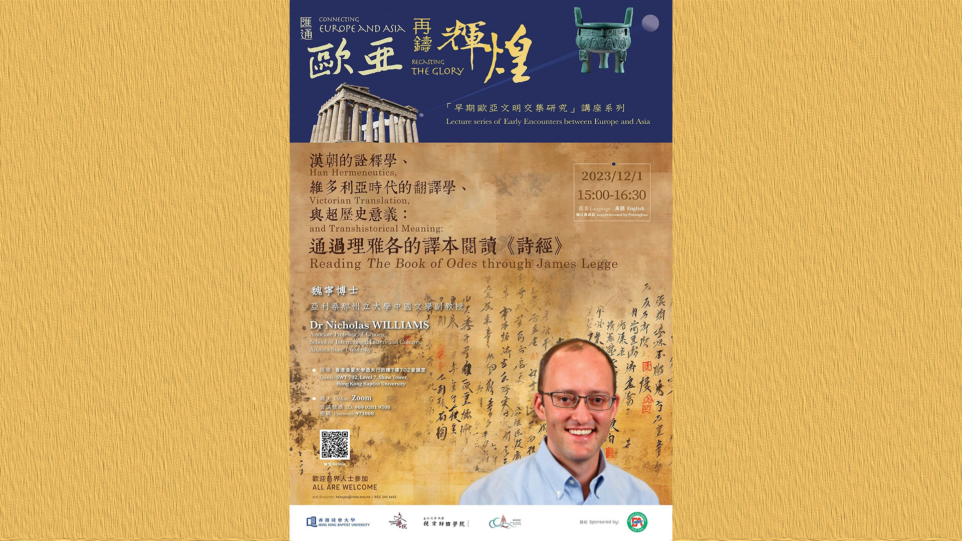
Han Hermeneutics, Victorian Translation, and Transhistorical Meaning: Reading The Book of Odes through James Legge
2023 | 96 mins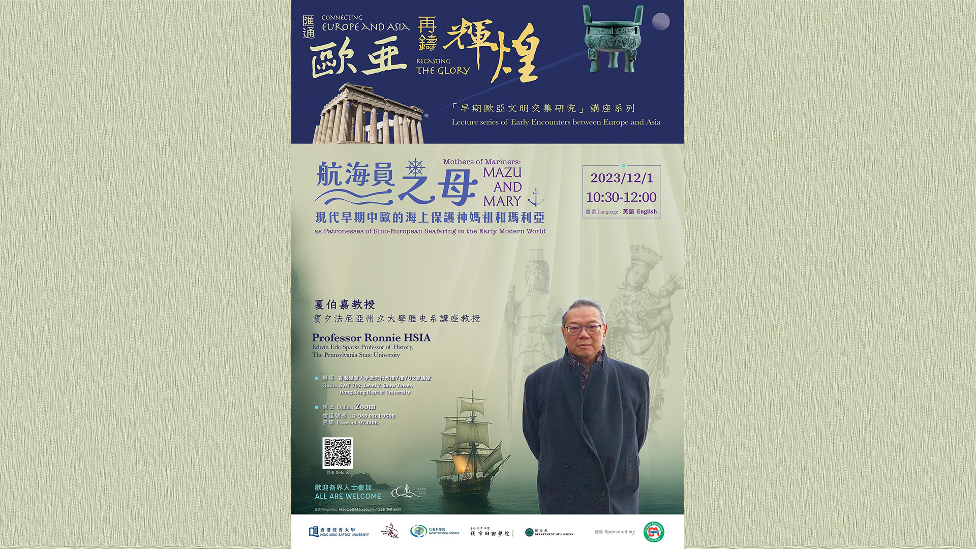
Mothers of Mariners: Mazu and Mary as Patronesses of Sino-European Seafaring in the Early Modern World
2023 | 100 mins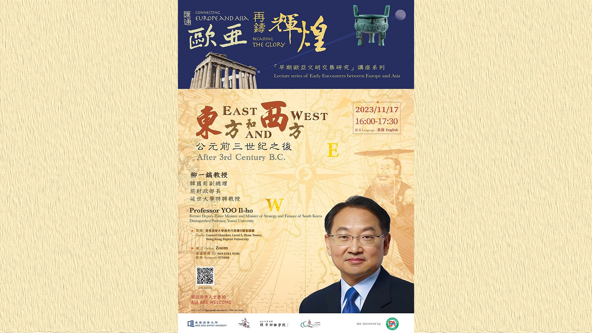
East and West; After 3rd Century B.C.
2023 | 81 mins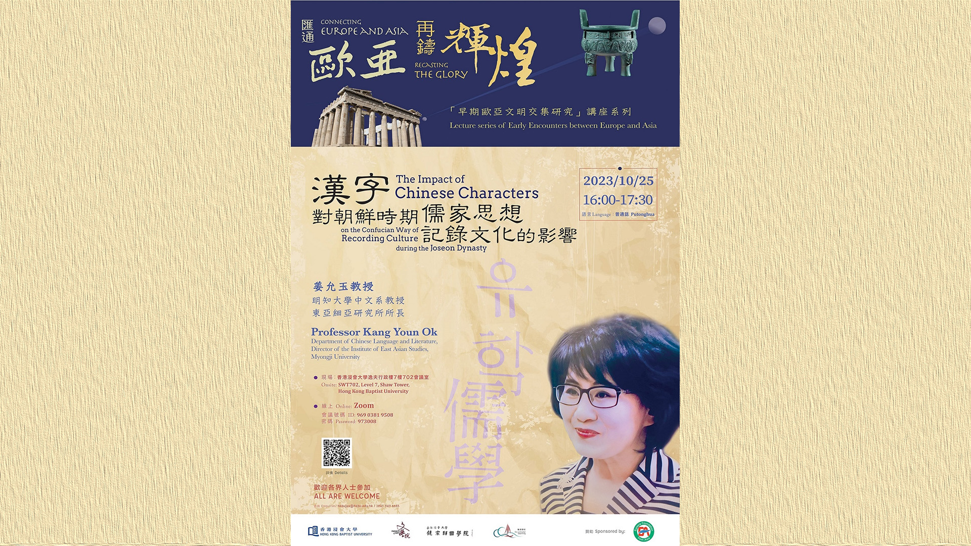
汉字对朝鲜时期儒家思想记录文化的影响
2023 | 97 mins